|
Drop us a note - perhaps we can locate a miniature reproduction for you! |
|
|
Drop us a note - perhaps we can locate a miniature reproduction for you! |
|
|
Click on the illustrations to see a larger
version.
All map sizes given are the size of the original, full-size map. Your miniature map can be printed in 1:12 miniature scale, or any specific smaller size that you request. Prices for miniature maps depend on the number of maps you purchase.
One map is $2.50,
|
|
|
|
|
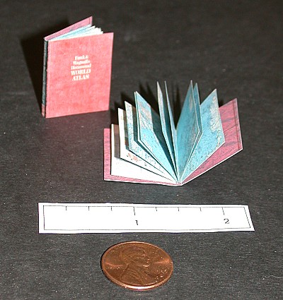 |
Miniature World Atlas - this fully functional miniature world altlas is 20 pages long, with maps for all continents and major island groups. The book is perfect bound, and measures x 1 1/16" x 13/16" inches. Price is $10.00. |
|
 |
A New and Accurate Map of the World, 1627. Original is 19.7 x 23.5 inches |
|
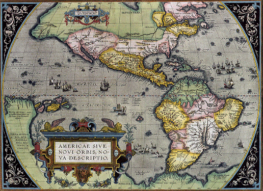 |
Americae Sive Novi Orbis Nova Descriptio, 1584, 18.9 x 14.2 inches |
|
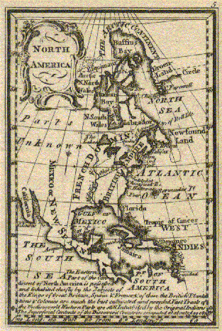 |
North America, 1759, Gibson, dimensions unknown |
|
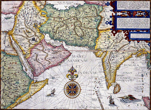 |
Orae Maritimiae Abexiae, 1600, 24" x 18", (Red Sea and Persian Gulf region) |
|
 |
Globular Map of the World, 1507, Waldseemuller, 17.7" x 10.9" |
|
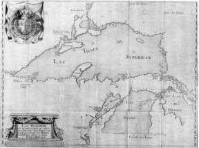 |
Lake Superior Region, 1672, 16" x 21.8" |
|
 |
Nuevo Mundo (Atlantic Region), 1545, 6.4" x 10.9" |
|
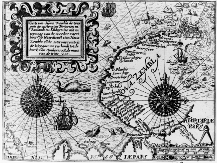 |
Nova Zembla, 1646, 8.2" x 6.4" |
|
 |
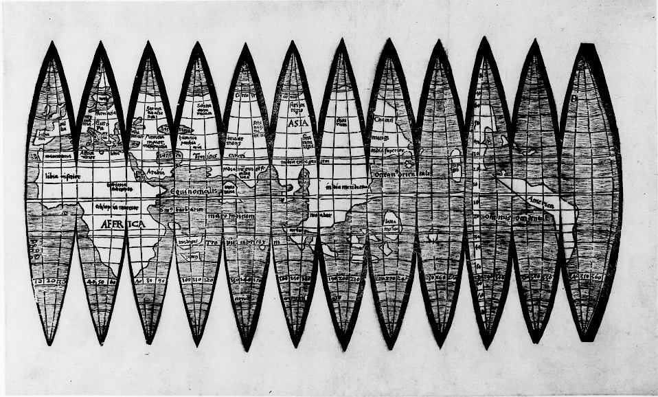
Map by Ptolomy, 1503, 13.2" x 19.1" |
|
 |
Typus Orbis Terrarum, drawn by Abraham Ortelius, 1592, 15.5 inches x 22.5 inches |
|
 |
Londinium Ferracissime, 1572, 22.2" x 15" |
|
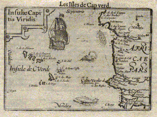 |
Cape Verde Islands, Bertius, 1609, 4.2 inches x 6 inches |
|
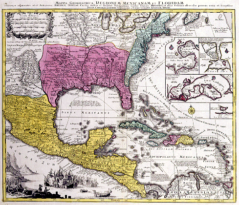 |
Regionem Mexicamam et Floridam (Mexico and Florida),
1760,
26.4" x 22.7" |
|
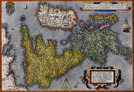 |
Angliae, Scotiae, et Hiberniae, 1570 |
|
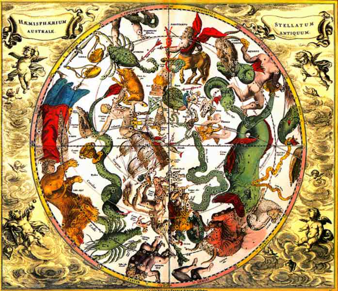 |
Atlas Celeste, 1708, dimensions unknown |
|
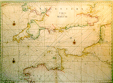 |
Chart of the English Channel, 1756, 27.3" x 36.8" |
|
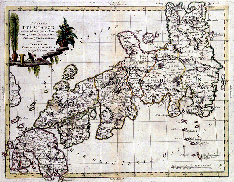 |
L'Impero Del Iapon (Japan), 1790, 18.6" x 14.6" |
|
 |
The Americas, 1670, 24.5 x 20" |
|
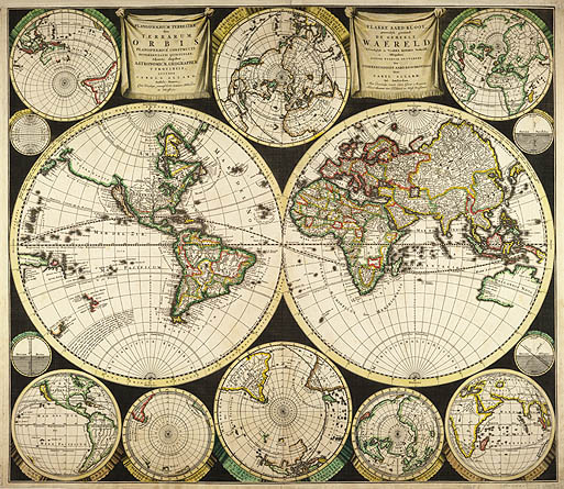 |
World map by Allard, 1696, dimensions unknown |
|
 |
World map by JacquesCassini,1713, dimensions unknown |
|
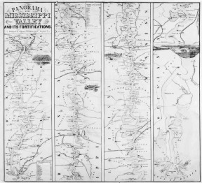 |
Civil War - Panorama of the Missippi Valley, 1861, dimensions unknown |
|
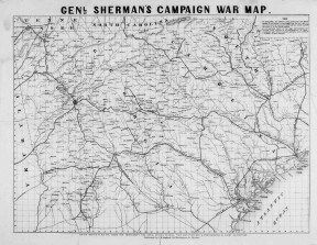 |
Civil War - General Sherman's Campaign Map, 1864 |
|
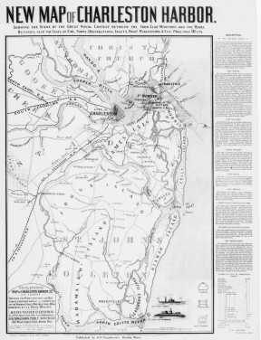 |
Civil War - Map of Charleston Harbour, 1863 |
|
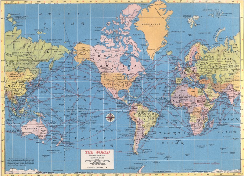 |
Map of the World, 1952, dimensions unknown |
|
 |
Map of the USA, suitable for a classroom, dimensions unknown |
|
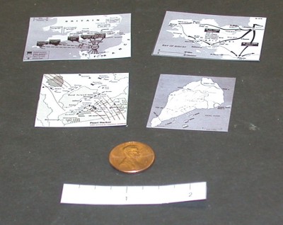 |
Set of four WWII maps, including the Battle of Iwo Jima,
Invasion of Brtittany, Pearl Harbour, and the D-Day landing.
Each map is approximately 1 1/2 inches high. |
|